
Precision in Every Detail

Welcome to Al Barza Survey Consultants, a leading provider of land surveying services for clients across various industries. Our company is dedicated to delivering high-quality and accurate surveying services that meet the needs of our clients.

We have a team of highly skilled and experienced land surveyors who use the latest technology and equipment to ensure precise results. Our services include building & Road Surveys, Topographic Surveys, Construction Staking, Land Division Surveys, and much more.

At Al Barza Survey Consultants, we understand that every project is unique and requires a tailored approach. That's why we work closely with our clients to understand their specific requirements and provide customized solutions that meet their needs.

We are committed to providing excellent customer service, and we strive to exceed our clients' expectations on every project we undertake. Contact us today to learn more about our services and how we can help you with your surveying needs.
200+

50+

Experienced Surveyors

Projects

Projects

Precision-driven surveying shaping UAE landscapes.

Surveyor using advanced GPS equipment on a desert construction site in Ajman.
Urban Mapping

Detailed city topographic and infrastructure surveys.

Drone capturing aerial images over an active construction site for 3D modeling.
Engineers reviewing pipeline survey data on digital devices onsite.
Close-up of precision instruments used for shoring and pile setting-out.
Utility Surveys

Comprehensive GPR and pipeline surveying solutions.

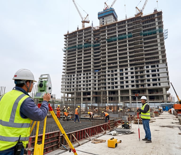
A surveyor in high-visibility gear using a theodolite on a construction site at sunrise.

Precision

Capturing every detail with expert land surveying technology.

Drone flying over a vast desert landscape conducting aerial mapping.
Close-up of a 3D scanner capturing intricate building details on site.
Engineers reviewing digital topographic maps on a tablet outdoors.
Utility survey team using ground-penetrating radar equipment near pipelines.
Survey markers and measuring tools aligned precisely on a road construction site.